Geolux’s non-contact radar technology provides accurate water level and flow monitoring in the Neretva River valley, with custom mounting solutions and simplified maintenance through periodic site photos from HydroCam.
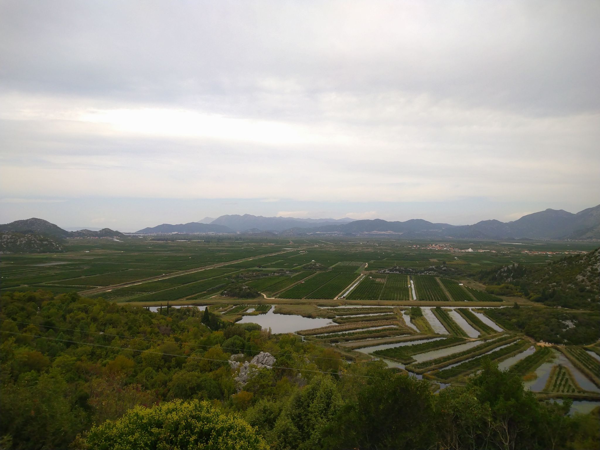
The Neretva Valley
The Neretva River flows 225 km through Bosnia and Croatia, forming a 12,000 ha delta at the Adriatic coast. Once a swamp with 12 tributaries, reclamation reduced the number to four, transforming the area into fertile agricultural land. The valley serves a dual function: storing freshwater for irrigation during dry periods and acting as a relief channel during floods.
To safeguard this ecosystem, authorities and academics continuously work on flood protection, irrigation management, and saltwater intrusion prevention. The University of Zagreb’s Faculty of Civil Engineering has installed Geolux instruments at four monitoring sites across the delta to measure water levels and flow.
Non-Contact Radar
A key factor in the Faculty’s choice was Geolux’s non-contact radar technology, which measures water level and flow from above the surface. This simplifies installation and reduces maintenance. Flow is calculated using the index velocity method, combining water level and surface velocity.
Because no overhead structures were available at the chosen sites, Geolux designed custom aluminum poles with extended arms to hold sensors above the water. Each site included a concrete foundation, radar instruments, datalogger, solar panel, and backup battery. Installation of all four stations was completed in two days.
Gaining Accurate Measurements
To ensure accurate readings, the mounting poles were engineered to minimize vibrations under strong winds. Radar sensors also include filters to reduce the impact of oscillations or aquatic vegetation.
Vegetation at channel banks can interfere with measurements, but the LX-80 radar sensor features a mode that detects vegetation and still records the true water level. Longer averaging filters further improve accuracy, while HydroCam site cameras provide photos to guide timely maintenance.
Strong Results
Nine months of data confirm reliable performance with no accuracy loss from vibrations. Vegetation remains manageable with proper configuration and regular trimming, supported by HydroCam images that make maintenance planning straightforward.
This Neretva project highlights Geolux’s close collaboration with clients — from site selection and custom mounting design to instrument installation and data analysis — ensuring robust, real-world monitoring solutions.